.png)

Introduction
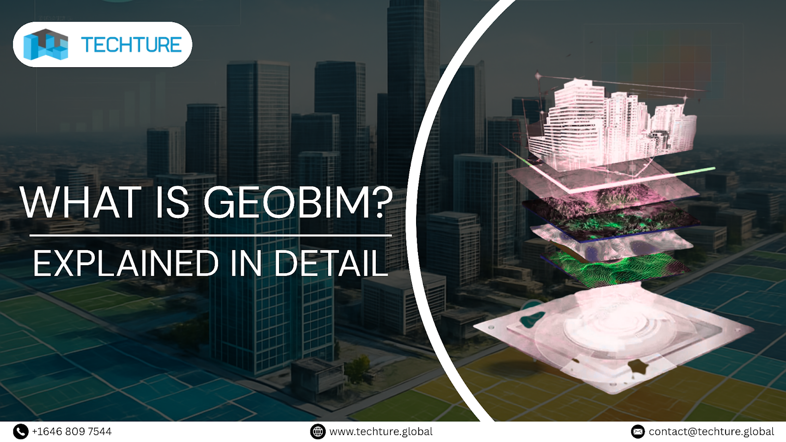
The Architecture, Engineering, and Construction (AEC) sector is also facing a rapid digital evolution. Of all the changes that affect this sector, one that proves to be very influential is GeoBIM, which combines Geographic Information Systems or GIS with Building Information Modeling or BIM.
Such a union allows project teams to place highly detailed models of buildings within the real-world geographical context. In this way, designers, planners, construction contractors, and owners are able to recognize infrastructure as not only separate facilities, but also as systems that operate within various geographical settings.
With ever-changing urbanisation needs, the complexity of infrastructure projects is increasing, and the demand for sustainable solutions is getting attention. In this article, we will unleash all the important factors making GeoBIM imperative in the modern project delivery process.
What is GeoBIM?
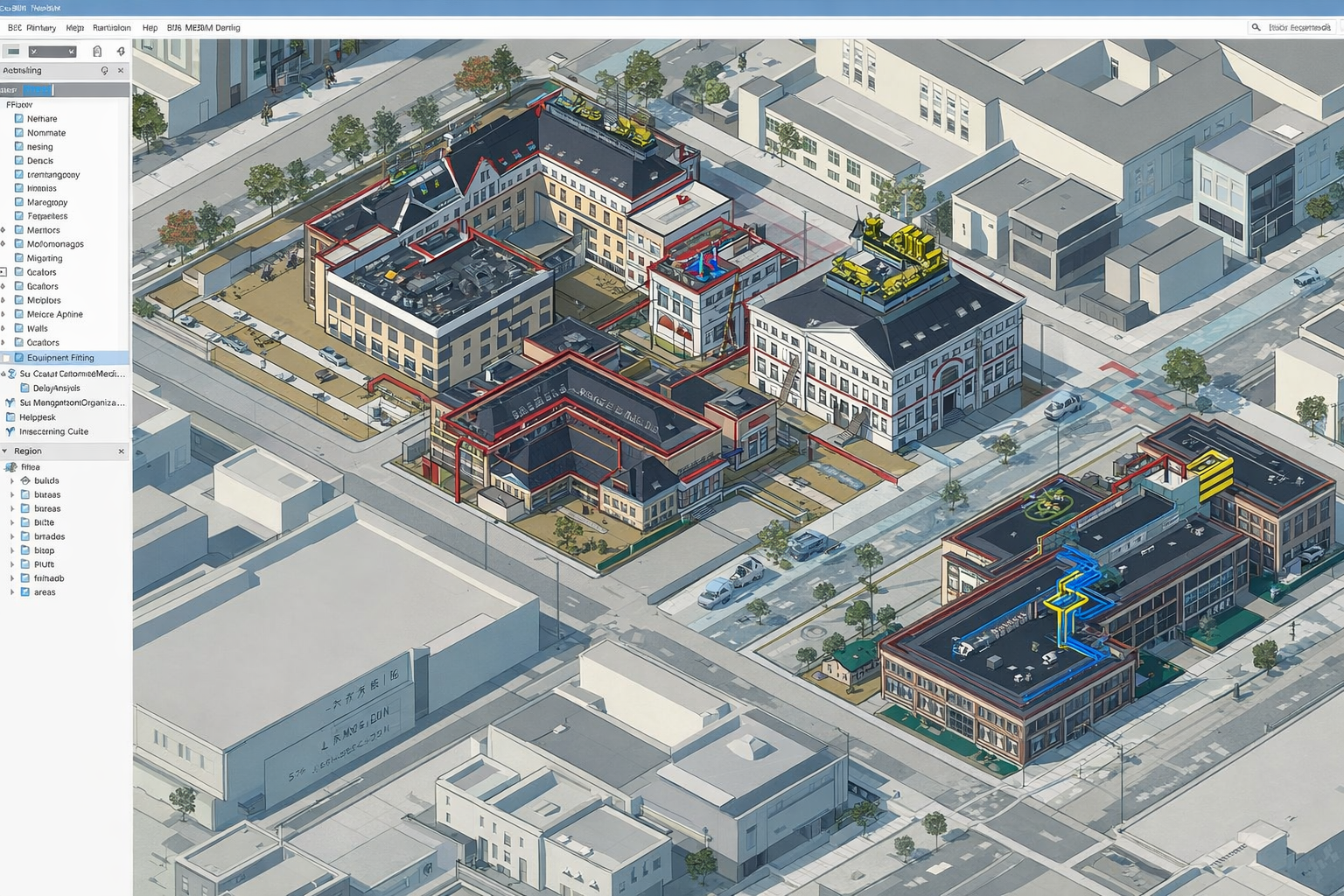
GeoBIM is where GIS, which involves capturing, storing, and analyzing geographic data, meets BIM, which involves generating intelligent 3D building models with asset-level data.
These technologies collectively offer an integrated digital space that allows both the macro-geographic perspective and the micro-level engineering view to coexist.
Rather than working in separate silos, GIS for site conditions and BIM for buildings, GeoBIM solutions allow for bi-directional information flows between disciplines. The teams are able to tap into information that enables planning, decision-making, and lifecycle management concepts from conceptual designs to operations.
Key Features of GeoBIM
Geospatial Contextualization:
In the case of GeoBIM, the accurate model is positioned in its true location.
By using a template to create:
- Land site and slope
- Drainage patterns and utilities
- Adjacent Buildings and Land Use Controls
- Environment sensitivities
In this way, a lack of understanding of the surrounding environment could result in conflicts not being identified and could, in turn, affect the final design.
Real-Time Collaboration:
GeoBIM platforms such as ArcGIS GeoBIM with Autodesk BIM Tools offer cloud-based collaborative work environments.
Stakeholders in various fields are able to
- View shared project data together
- Model changes recorded over time
- Access information from any domain worldwide
Further, this eliminates the possibility of incorrect communications and prevents the duplication of work on the part of the planners, designers, and engineers for the
Enhanced Visualization:
Interactive 3D and 4D environments allow projects to come alive even before actual construction begins on the ground.
Visual overlays of Building Information Models on Geospatial maps enable the user to view the physical environment with the built asset in the same visualization and support the following:
- Design Validation
- Stakeholder and Community Engagement
- Approval processes
- Clash and feasibility studies
Data-Driven Insights
By integrating the geospatial and building datasets, the user has the possibility of carrying out rigorous analyses on the following:
- Forecasting cost and schedule impacts
- Site Accessibility and Logistics Planning
- Modeling Risk and Hazard
- Use of utility impact and service distribution analysis software
These help in making evidence-based decisions and minimizing uncertainty at every step.
Benefits of GeoBIM
Improved Decision-Making
The availability of comprehensive data on the spatial and engineering aspects means that decision-making can be genuinely well-informed. In terms of the effective distribution of utilities, or finding risks to the environment, for example, policymakers receive an overview rather than a collection of piecemeal data.
Increased Efficiency
In this case, by integrating both workflows, GIS and BIM, the redundancy and rework are reduced greatly. Early clash detection, accurate material estimating, and seamless approvals translate directly into cost and time savings that make delivery more predictable.
Enhanced Stakeholder Engagement
Non-technical individuals, such as government agencies, entrepreneurs, or the general public, are able to interface with immersive models instead of drawings. As a result, this transparency instills public trust, facilitates permitting, and ensures that public interest is integrated into design strategies.
Sustainable Design
Sustainability is an essential aspect of the value offered by GeoBIM.
Such information may include real-time data on environmental factors like the amount of carbon in a given region, flood zones, vegetation, and heat maps, which
- Built environment
- Distinct Resource Optimization
- Lower ecological impact
GeoBIM enables the future of sustainability that will not be responsive but an integral process within projects.
Applications of GeoBIM
Urban Planning
Smart cities are based on connected systems and data-driven planning.
GeoBIM enables urban planners to integrate land-use regulations, transportation networks, utility systems, and building data into a single digital canvas that enables effective zoning, expanding infrastructure, and community development.
Transportation Projects
That would mean reliance on spatial context for roads, railways, bridges, and airports.
In the GeoBIM, the engineer can analyze terrain constraints, coordinate with underground/overground utilities, manage corridor right-of-way, and evaluate environmental impacts across the whole network system.
Utilities Management
Since networks of water, gas, power, and telecommunications generally span large areas.
By linking geospatial maps and BIM asset records, operators can achieve the following:
- Track the condition of assets.
- Plan maintenance schedules
- Emulate outages or expansion needs
- Coordinating with municipalities
Disaster Management
The ability of GeoBIM to combine hazard mapping and infrastructure models makes it invaluable in:
- Flood and landslide risk assessments
- Emergency response planning
- Damage evaluation post-disaster, and vulnerable infrastructure monitoring.
Governments and agencies apply GeoBIM to build safer communities through preparedness and resilience.
Challenges in Implementing GeoBIM
Data Compatibility
Interoperability among BIM and GIS formats has yet to be fully achieved. IFC and RVT are considered typical BIM formats, while SHP and GDB can be considered typical GIS formats.
Emerging standards, like ISO 19650 and exchange formats, continue to reinforce compatibility, but seamless integration requires focused planning.
High Initial Costs
Investments in cloud platforms, integrated software ecosystems, and training programmes are relatively high, especially for firms migrating from legacy workflows.
Data Security
Sharing sensitive project information among cloud systems requires highly strict cybersecurity, access control policies, and compliance with regional data laws.
Skill Gaps
GeoBIM is multidisciplinarily complex. This means AEC professionals need training not only in Revit or Navisworks but also in the GIS systems such as ArcGIS Pro, creating an ever-increasing demand for hybrid skill sets.
Future of GeoBIM

GeoBIM is destined for a key role in the creation of digital twins. Digital twins are virtual, dynamic replicas of physical infrastructure. By having IoT sensors providing data to the models, organisations can predict and manage performance as well as failures.
AI and Machine Learning will further enhance GeoBIM capabilities with the following advantages:
- Predictive risk models
- Compliance check automation
- Optimised routing for transport networks
- Simulations for Intelligent City Planning
With more intelligent and integrated infrastructure environments, GeoBIM will likely become more of an industry standard and less of a differentiator.
Conclusion
GeoBIM is a revolution in the construction sector, as it overcomes the long-standing barrier of unconnected design models and geographical intelligence.
The combination of GIS and BIM provides professionals with powerful tools that offer improved planning and scheduling capabilities and increased sustainability that was not previously accessible with GIS and BIM separately.
With rising density and increasing infrastructure needs in cities, adopting GeoBIM becomes less of an opportunity and more of a necessity for those who are trying to be innovative, resilient, and successful.
FAQs
1. How does GeoBIM differ from traditional GIS and BIM approaches?
The conventional GIS system and the BIM system function independently; for instance, the GIS system is responsible for modeling the environment, while the other models the infrastructure. GeoBIM bridges the gap and offers integrated environmental and building information.
2. What software platforms support GeoBIM integration?
Typical tools for this task are ArcGIS GeoBIM, Autodesk InfraWorks, Revit, or Navisworks, and open standards such as IFC
3. Can GeoBIM be applied to existing infrastructure projects?
Yes. Legacy assets can be scanned using lasers or photogrammetry and GIS data import procedures in order to integrate them.
4. What are the data requirements for implementing GeoBIM?
To ensure proper and accurate integration, site surveys, spatial data, BIM models (LOD-specific), and metadata standards are critical.
5. How does GeoBIM contribute to sustainable construction practices?
It promotes more informed environmental analysis, minimizes carbon emissions, facilitates efficient design, and helps optimize long-term assets.


.jpg)