.jpg)

Today, the need for real-world data and measurements is growing rapidly in the Architecture, Engineering, and Construction (AEC) industry. Due to the complexity of projects and their tight deadlines, it often becomes impossible to rely solely on surveying. This may lead to data deficiencies, poor coordination, and costly errors. Being capable of gathering highly detailed spatial data from real-world locations, LiDAR allows creating a precise digital model of existing site conditions. Thus, any design decision can be made based on accurate and up-to-date data, which is an important condition for using BIM technologies.
In BIM projects, laser scanning becomes essential because it enables transforming a physical space into an intelligent 3D digital twin of the location. Subsequently, this model can be applied during the whole process of building, starting from the coordination and clash detection and finishing with the fabrication of all details and elements. As more companies embrace digital construction and integrated project delivery, LiDAR scanning becomes one of the keys to achieving success and ensuring precision, speed, and effectiveness.
Definition of LiDAR (Light Detection and Ranging)
LiDAR (Light Detection and Ranging) is a sophisticated remote sensing technology that gauges distances based on the emission of laser pulses, along with their reflection back from the surfaces in question and subsequent analysis of the amount of time they take. In contrast with other measuring methods, which use single points as the main tool of observation, LiDAR collects millions of points in seconds.
In essence, LiDAR is capable of converting reality into spatial data, which usually becomes a set of three-dimensional points known as point clouds. All points have exact coordinate values (X, Y, Z), as well as additional characteristics, such as intensity of the reflection or RGB values. These point clouds form the basis for the creation of models, digital twins, and datasets.
Why LiDAR Has Become Essential for Spatial Data Acquisition
Modern-day infrastructure projects have become too complicated for traditional surveying to be able to work alone. Modern projects require more efficiency, accuracy, and cooperation between different professions involved. LiDAR can tackle these issues because it helps capture data at a very fast rate and with extremely precise resolution. Irrespective of whether LiDAR is used in an industrial complex, an urban landscape, or a transportation route, LiDAR will help ensure that all parties concerned are working with real-life data.
Enabling Millimeter-Level Precision Mapping
One of the most important aspects of LiDAR is its capability of delivering millimeter to centimeter accuracy in controlled environments. Advanced terrestrial sensors are capable of capturing very detailed geometry; thus, they can be utilized for various tasks such as building facade modeling, structural analysis, and retrofitting. Using highly precise measurements, project managers can transition from mere conceptual modeling to construction-level digital modeling that guarantees not only visual fidelity but also dimensional accuracy.
Types of LiDAR Scanning Systems
1. Airborne LiDAR – Mapping terrain, vegetation, and flood plains
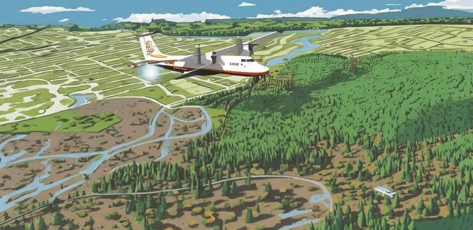
The airborne LiDAR survey system is usually attached to a plane or a UAV. It is suitable for massive land surveying tasks. Airborne LiDAR can scan an extensive area in a very short period, thus being useful for surveys on a regional level, environmental studies, and infrastructure planning.
One important feature of the airborne LiDAR survey is that it can go through the forest canopy. The device can detect different returns by shooting one laser pulse into the atmosphere. Therefore, the airborne LiDAR survey system can be used to produce DTMs and DEMs for further land development and flood studies.
2. Terrestrial LiDAR – High-detail building and infrastructure modeling
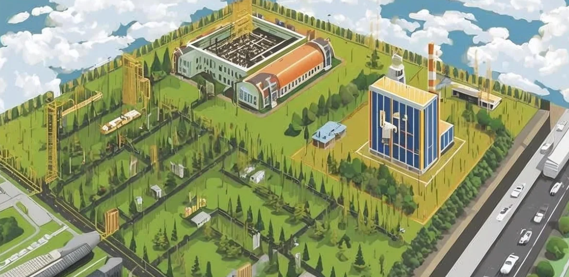
A terrestrial LiDAR scanner is a land-based device used to obtain highly accurate representations of structures, industrial plants, and assets. These devices have become very popular among professionals working with BIM, specifically with scan-to-BIM services.
They enable the creation of highly dense point clouds with very high accuracy, thus making the generation of realistic 3D models possible. It is crucial for renovation and retrofit projects, as well as as-built documentation, which requires the accurate documentation of current conditions.
3. Mobile LiDAR – Vehicle-mounted systems for transportation corridors
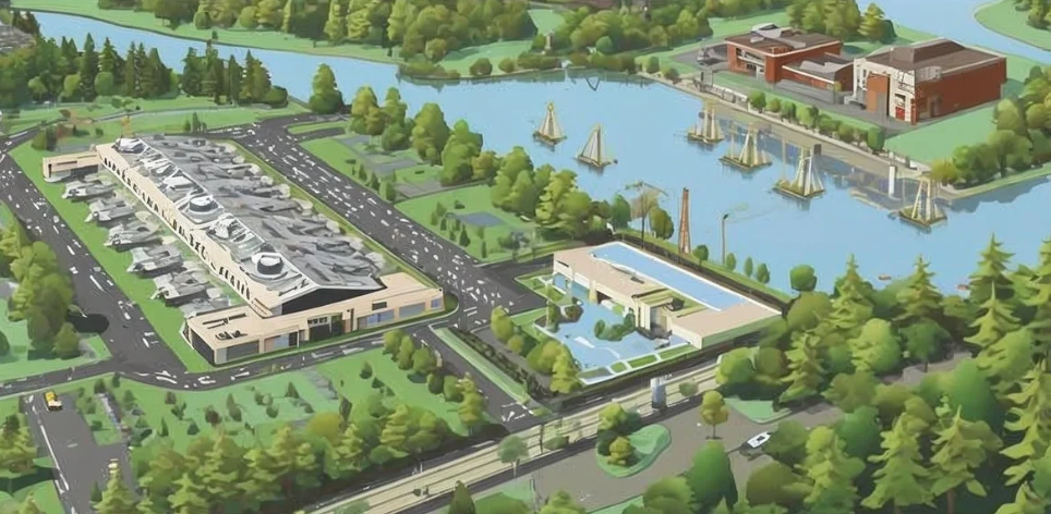
Mobile LiDAR systems comprise laser scanning technology coupled with GPS and IMUs, and are fixed onto movable vehicles. Mobile LiDAR is well suited for the mapping of linear infrastructures, such as roads, railroads, and city streets.
Since mobile LiDAR gathers data by movement, it greatly cuts down the time taken during surveys. Additionally, it reduces the level of disturbance caused by carrying out surveys, and it can be used to map corridors.
4. Bathymetric LiDAR – Coastal and seabed mapping using green laser wavelengths
The Bathymetric LiDAR employs lasers with wavelengths in green light, which have the ability to pass through water. It plays a critical role in engineering coastal projects, marine biology, and environmental observations. This system is useful in creating detailed maps of riverbeds, seabeds, and the coastline, aiding in activities like dredging plans and flood risk management.
How LiDAR Scanning Works
Step-by-step breakdown of scanning workflow
1. Laser Pulse Emission
Firstly, the LiDAR sensing system initiates with the transmission of laser pulses. These pulses can be either near-infrared or green, depending on the application area for which they are being used. The laser pulses are transmitted at incredibly fast rates—sometimes hundreds of thousands or even millions of pulses per second. In terrestrial and mobile-based LiDAR systems, the scanner makes use of rotating mirrors or oscillations to transmit these pulses through its field of vision.
2. Reflection Capture
After emission, the laser pulses will propagate through space before hitting a surface that could be any structure, the ground, foliage, or other elements. The pulses are reflected back to the receiver sensor.
Reflection depends on the material type. For example, hard surfaces such as concrete or steel will offer strong reflection, whereas soft surfaces such as glass will reflect poorly or inconsistently. High-end LiDAR sensors can capture more than one reflection per pulse. This feature is especially beneficial in areas with layered structures such as vegetation.
3. Distance Calculation
Distance is determined based on the time-of-flight method. It means that the amount of time needed for the light pulse to reach the scanned object and return back is measured. Taking into account the speed of light and the time, the scanner can measure the exact distance to the object. At the same time, the system determines the angle at which the pulse is sent and thereby finds the coordinates of each measured point. Mobile and airborne systems use additional technologies based on GPS and IMUs to track the current position and orientation of the device.
4. Processing of Data Into 3D Point Clouds
While collecting millions of distance data points, the LiDAR scanner creates a cloud of data points, which becomes an image of the scanned area in three-dimensional space. Every point in a cloud includes the X, Y, and Z coordinates, as well as additional information about the points’ characteristics.
This raw data can be processed with special software, where it is used for:
- Elimination of noise and outliers
- Alignment of multiple scans
- Classification of objects (ground, structures, vegetation, and others)
- Conversion into surfaces or BIM models
As a result, the designer has at his/her disposal very accurate and high-quality data on the scanned area.
Accuracy, Speed, and Range
Another key characteristic that makes LiDAR scanning unique is its capacity to combine accuracy, speed, and range. Current LiDAR technology is capable of providing precise measurements from the millimeter to centimeter level and, at the same time, recording millions of data points per second. Whether using indoor or outdoor scanners, LiDAR technology can cover a variety of ranges from indoor to outdoor terrains, measuring up to several kilometers.
LiDAR Data Processing Workflow

The LiDAR data processing stage is important because it transforms the collected data into useful information that can be applied to BIM, GIS, and engineering purposes. Although millions of data points may be acquired during scanning, it is during this process that the data is processed into a usable form.
Workflow (Step-by-Step)
1. Data Acquisition: Point cloud data from LiDAR scanners is acquired, along with GPS and IMU data, for precise positioning.
2. Calibration and Registration: Several point clouds are combined and registered to form a single coordinate system for an accurate database.
3. Data Filtering (Removing Noise): Extraneous data, including noise, outliers, and moving targets, are filtered out to produce high-quality data.
4. Classification: The cleaned point cloud data is classified into components, which include ground, buildings, trees, and utilities.
5. Modeling and Data Transformation: The processed data is transformed into useful models in the form of point cloud models (LAS, E57), DEMs, and 3D models for BIM applications.
Software Tools and Integration
To facilitate these operations effectively, popular software tools such as Autodesk ReCap, Leica Cyclone, and Trimble RealWorks are extensively utilized. The software facilitates visualization, registration, cleansing, and conversion of the point clouds to formats that are compatible with further applications.
Post-processing of LiDAR data is easily incorporated within GIS systems for geospatial analysis and mapping purposes, while at the same time being incorporated within Building Information Modeling (BIM) systems for developing precise as-built models.
What Is a LiDAR Scanner Used For?
LiDAR sensors are utilized in various sectors owing to their high precision and dense spatial data collection capabilities. From extensive terrain scanning to minute building surveys, LiDAR is vital in providing data-driven solutions and streamlining projects.
- Surveying and Mapping: Utilized for precise terrain profiling, contour plotting, and land use planning.
- Infrastructure and Construction: Facilitates the creation of precise as-built models, detecting clashes, and conducting structural and deformation analyses in building information modeling (BIM).
- Mining and Energy: Assists in volume calculation, stockpile evaluation, slope stability assessment, and equipment assessment.
- Forestry and Environmental Science: Provides information on tree heights, canopy density assessments, flood modeling, and environmental impact assessments.
- Coastal and Marine Research: Applied for bathymetric surveys, seabed evaluation, and shoreline monitoring and management.
Key Benefits of LiDAR Scanning
LiDAR scanning brings with it many benefits that have made it an attractive choice for use within the fields of AEC and others. The capacity of LiDAR to gather accurate real-world data fast is what helps improve the results obtained.
1. Unmatched Accuracy and Resolution
This technology provides very dense and precise spatial data, which can be used within the scope of projects with millimeter to centimeter accuracy. In other words, this feature allows collecting data that can be used effectively for modeling purposes.
2. Rapid Data Capture Over Large Areas
LiDAR technology allows scanning extensive areas considerably quicker than using the other methods. This will help save on the duration of the fieldwork as well as speed up decision-making processes.
3. Safe and Non-Contact Measurement
As a technology based on remote sensing, this method does not require any physical contact with the object being studied. Therefore, it can be safely applied even when working with hazardous sites.
4. Efficient Integration with CAD/BIM Platforms
It will be rather easy to integrate collected data into any modern CAD or BIM solution, which will facilitate the workflow on site.
5. Enhanced Decision-Making with Real 3D Data
The use of this technology helps improve decision-making by providing relevant and accurate information about the objects.
LiDAR Scanning vs Traditional Surveying Techniques
Despite the numerous benefits of LiDAR, it is crucial to evaluate how it differs from conventional surveying techniques. The conventional surveying method is represented by total stations and GPS surveying, which are both very precise yet relatively slow since they only measure single points. Photogrammetry produces images that are easy to visualize, although in some cases it lacks the precision of LiDAR.
However, the distinctive features of LiDAR are precision and fast scanning. Nonetheless, LiDAR does not always serve as a substitute for conventional techniques, since there are many projects where a combination of these technologies proves to be effective.
For instance, the use of total stations to establish control points can help in increasing the accuracy of LiDAR scans, whereas photogrammetry will enhance the quality of visualization via texture mapping.
Integration of LiDAR with Other Technologies
Combining LiDAR with AI and machine learning enables automated object detection and data processing. It also works with drones and autonomous vehicles to improve navigation, terrain modeling, and environmental monitoring.
LiDAR + BIM: Digital twins and construction quality control
LiDAR, when used alongside BIM technology, is able to provide the necessary means to convert real-life situations into 3D intelligent models for scan-to-BIM processes. In turn, the usage of such technology provides the ability to develop digital twins for monitoring and quality assurance purposes.
LiDAR + GIS: Spatial analysis and mapping
The combination of LiDAR and GIS makes it possible to perform better geographical analysis and mapping. LiDAR may be used for the creation of various maps, including terrain and elevation models as well as the mapping of infrastructure facilities in every possible project.
LiDAR + Photogrammetry: Hybrid modeling for improved accuracy
Geometry is achieved through LiDAR technology, and photogrammetry ensures that there is high-quality texture for the model. The combination produces highly accurate and visually appealing 3D models that can be applied in various fields, including urban planning and architecture.
LiDAR + AI: Automated object recognition and classification
LiDAR combined with Artificial Intelligence (AI) and machine learning technology results in automation of data processing. With the help of AI software, it is possible to recognize and classify objects in the point cloud, for instance, buildings, streets, and trees, thus saving human time and resources.
Conclusion
Nowadays, LiDAR scanning is an integral element of the AEC industry and has changed the way we obtain real-world data and turn them into data-rich models. This tool ensures high accuracy and performance in capturing real-world spaces, and thus it has become a must-have technology for working in such areas as building information modeling (BIM), digital twins, and infrastructure projects.
Combining LiDAR scanning with such technologies as BIM, GIS, photogrammetry, and artificial intelligence (AI), we ensure smooth processes and make decision-making easier and more efficient. As a leading company that provides LiDAR services, Techture has made it possible to deliver BIM and virtual design and construction (VDC) services based on highly accurate models generated through LiDAR scanning.
FAQs
Q1: What is LiDAR scanning and what does it measure?
LiDAR scanning is one of the remote sensing techniques that employ lasers to determine the distances between the sensors and the target surfaces. They capture the spatial data for generating accurate three-dimensional models of landscapes by capturing their X, Y, and Z coordinates as well as elevation.
Q2: What does the LiDAR scanner do in surveying and mapping?
A LiDAR scanner quickly captures high-density spatial data for creating accurate terrain models and contour maps in surveying and mapping operations. This greatly improves efficiency and accuracy while reducing the time spent in the field.
Q3: What is a LiDAR scanner used for in construction and engineering?
As-built surveying, modeling through scanning to building information modeling (BIM), clash detection, and monitoring of structural change are some of the LiDAR applications in construction and engineering projects.
Q4: How accurate is LiDAR scanning compared to traditional techniques?
The LiDAR scanner gives an accurate result ranging from millimeters to centimeters, based on the tools used and the environment. The data produced is much denser compared to other methods, thus improving efficiency.
Q5: What factors affect LiDAR accuracy and data quality?
There are several parameters that determine the accuracy of LiDAR technology, which include sensor performance, calibration, weather conditions (e.g., rainfall and fog), reflectance characteristics, and the entire process of data analysis.


.jpg)