
Subsurface utilities can create significant uncertainty in infrastructure projects. Incomplete or outdated information about water, sewer, drainage, electrical, gas, and telecommunications networks can lead to design conflicts, rework, delays, and unexpected conditions during construction.
Subsurface Utility Engineering (SUE) helps reduce this uncertainty by combining utility records, field investigation, surveying, geophysical methods, and physical verification where required. 3D laser scanning services complement this process by accurately capturing visible site conditions and providing spatial context around verified underground utility information.
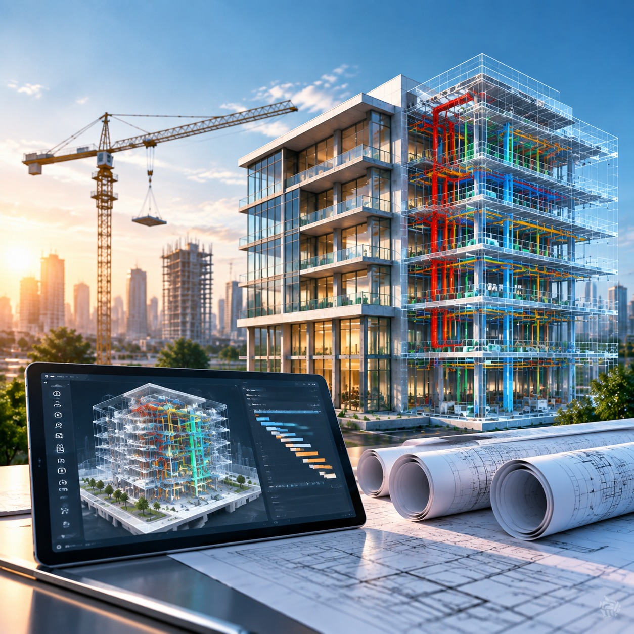
When combined with scan to BIM services, civil modeling, and utility modeling, this data can support better coordination, conflict analysis, documentation, and planning for complex infrastructure projects.
Understanding the Role of 3D Laser Scanning in SUE
Subsurface Utility Engineering focuses on establishing reliable information about existing underground infrastructure.
Depending on project requirements and the level of certainty needed, the SUE process may include:
- reviewing existing utility records and drawings;
- identifying visible utility features;
- conducting geophysical investigations;
- surveying utility locations;
- physically exposing critical utilities where necessary; and
- documenting verified utility information for design and construction.
3D laser scanning performs a different but complementary role.
A terrestrial laser scanner records millions of spatial measurements from visible surfaces and converts them into a dense three-dimensional point cloud. This allows teams to capture existing conditions such as roads, curbs, retaining walls, drainage structures, manholes, buildings, equipment, exposed piping, terrain, and other site features.
For infrastructure projects, this information creates a detailed digital context in which underground utility data can be reviewed and coordinated.
At Techture, 3D laser scanning services can form part of a wider workflow involving point-cloud processing, Scan-to-BIM, as-built modeling, civil and utility modeling, and multidisciplinary BIM coordination.
The value is therefore not simply in producing a scan. It lies in transforming captured information into usable engineering and construction data.
Can 3D Laser Scanning Detect Underground Utilities?
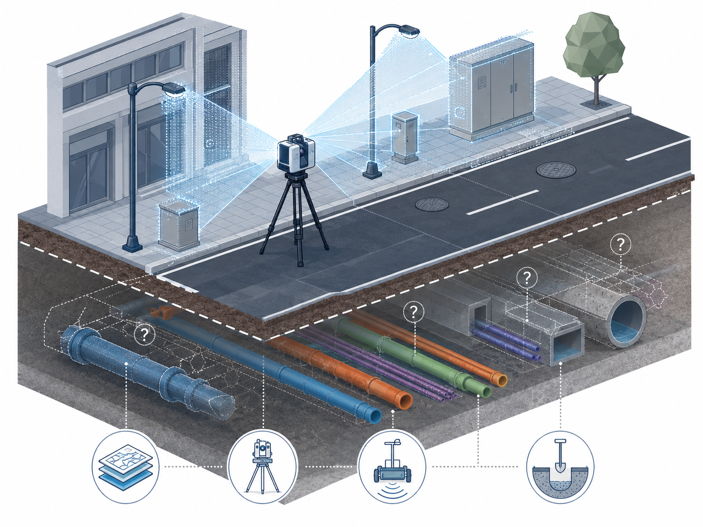
This is an important technical distinction.
Conventional terrestrial laser scanners cannot see through soil, asphalt, concrete, or other opaque materials. Therefore, they cannot independently identify pipes or cables that are completely buried underground.
Underground utilities must instead be identified using appropriate SUE and surveying methods such as:
- utility records
- electromagnetic locating
- ground-penetrating radar
- field surveys
- test holes or vacuum excavation and other suitable geophysical investigation methods.
Laser scanning supports these processes by documenting the visible environment surrounding underground infrastructure.
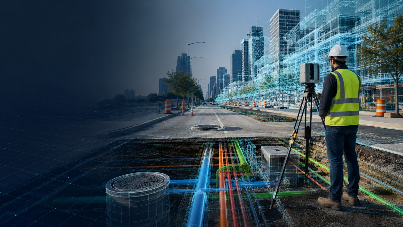
For example, SUE methods may establish the position of an existing water main beneath a road. Laser scanning can capture the road surface, curbs, manholes, drainage infrastructure, retaining structures, nearby buildings, and other visible conditions.
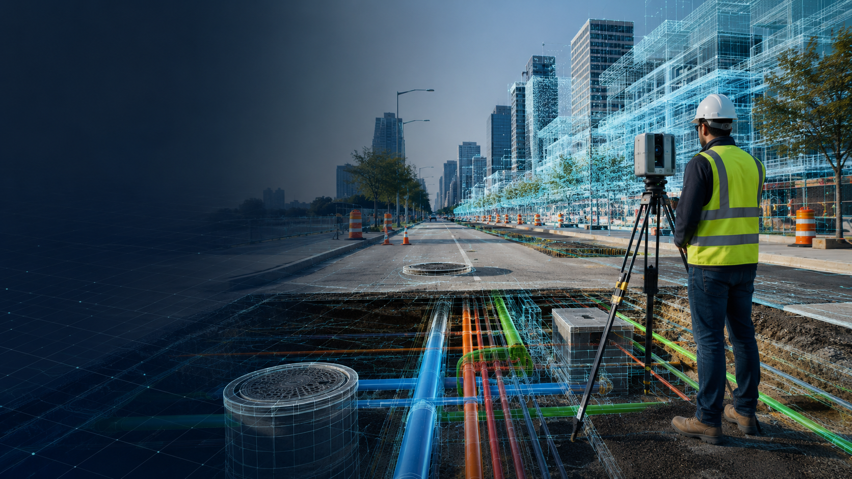
When this underground utility information and the laser scan are integrated into the same digital environment, engineers gain a clearer understanding of how the utility relates to the wider site.
Laser scanning can also add value when underground services are temporarily exposed during excavation. Before a trench is backfilled, visible utility installations can be captured and incorporated into digital as-built documentation.
In simple terms:
Laser scanning does not replace SUE. It strengthens the digital context in which SUE information can be understood and used.
How Different Technologies Contribute to Utility Investigation
SUE and reality capture are most effective when each technology is used for the purpose it is best suited to.
The objective is not to replace one method with another. The value comes from combining information generated by different disciplines into a coordinated project environment.
Connecting Existing Conditions With Utility Information
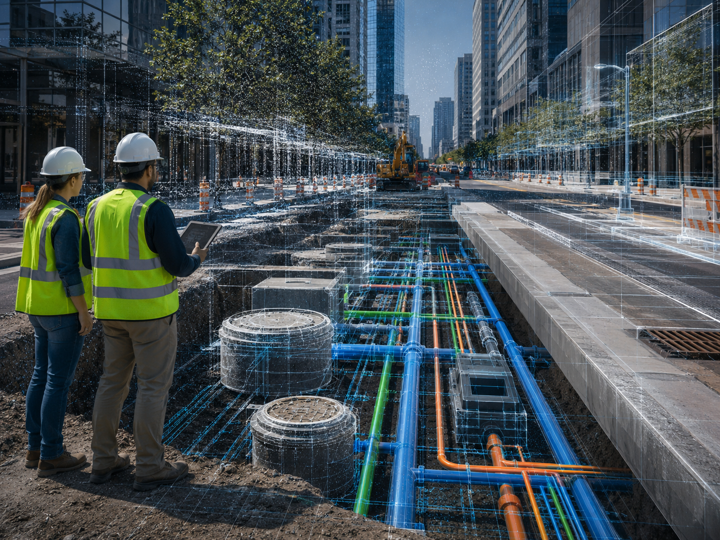
Infrastructure design rarely takes place in isolation.
Consider a road improvement project involving new drainage, road-level changes, retaining walls, electrical infrastructure, utility relocations, foundations, and existing underground services.
Each component must be considered in relation to the others.
Traditional 2D drawings can communicate much of this information, but spatial relationships may become difficult to interpret where several utilities and infrastructure elements occupy the same restricted corridor.
3D laser scanning provides a detailed representation of existing visible conditions. Verified utility data can then be incorporated through civil modeling or scan to BIM modeling services, creating a coordinated environment where existing and proposed assets can be evaluated together.
Instead of seeing a utility only as a line on a drawing, teams can understand its position in relation to:
- terrain and site levels
- road geometry
- drainage infrastructure
- structural foundations
- existing structures
- utility access points
- proposed infrastructure.
This spatial context is especially valuable for transportation projects, utility corridors, industrial developments, and urban infrastructure where available space may already be highly constrained.
From Point Cloud to Scan-to-BIM
The primary output of laser scanning is a point cloud—a dense collection of spatial points representing captured surfaces.
A point cloud provides detailed existing-condition information, but design and construction teams often require structured model geometry for further coordination and documentation.
This is where scan to BIM services become valuable.
A typical workflow may include:
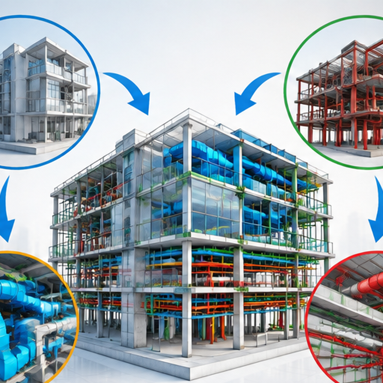
3D Laser Scanning → Point-Cloud Registration → Data Cleaning and Alignment → BIM/Civil Modeling → Utility Data Integration → Coordination
At Techture, scan data can be processed and converted into BIM models according to the defined project scope and required level of information.
Depending on the project, the resulting model may include:
- site structures;
- road and civil features;
- drainage components;
- utility chambers;
- visible or exposed services;
- buildings and structural elements; and
- other existing assets required for coordination.
The objective of laser scan to BIM services is not to recreate every point captured by the scanner.
The purpose is to translate relevant existing conditions into usable digital geometry that supports specific project needs such as design development, existing-condition documentation, utility coordination, as-built verification, construction planning, or future asset management.
Supporting Utility Coordination and Conflict Analysis
One of the most practical uses of integrating SUE information with reality capture and BIM is utility coordination.
Consider a proposed stormwater line that needs to pass through an existing utility corridor containing electrical ducts, telecommunications, water infrastructure, and sanitary lines.
If verified utility information is represented within a coordinated 3D environment, engineers can evaluate the proposed design before work reaches the construction site.
The model can support reviews of:
- potential utility clashes;
- horizontal and vertical clearances;
- conflicts with foundations or structures;
- drainage and utility crossings;
- proposed utility routing; and
- potential relocation requirements.
Not every issue is a direct physical clash.
Sometimes the concern may be insufficient clearance, maintenance access, constructability, or the ability to safely install one system alongside another.
A coordinated model makes these relationships easier to understand.
It can also improve communication between civil engineers, utility consultants, contractors, BIM teams, and project owners because complex spatial conditions can be reviewed within a shared visual environment rather than interpreted from multiple disconnected drawings.
Key Benefits of Combining 3D Laser Scanning With SUE
When used as part of a coordinated infrastructure workflow, 3D laser scanning services can provide several practical benefits.
Better Existing-Condition Understanding
Reality capture provides detailed information about visible site conditions, helping teams understand the physical environment surrounding investigated utilities.
Improved Design Coordination
Verified underground utility information can be reviewed against roads, structures, drainage systems, terrain, and proposed infrastructure.
Earlier Identification of Potential Conflicts
Integrating existing utilities with proposed models can help teams identify spatial issues during design rather than discovering them only during excavation or installation.
Better As-Built Documentation
Utilities that become visible during construction can be captured before concealment, supporting more reliable digital records.
Clearer Stakeholder Communication
A coordinated 3D environment can make complex utility conditions easier to communicate to teams that may otherwise rely on multiple 2D drawings and separate datasets.
The overall value is not simply better visualization. It is more effective use of project information throughout design and construction.
The Role of BIM for Infrastructure Projects
Although BIM is often associated with buildings, the same information-management principles can support civil and infrastructure projects.
BIM for infrastructure brings geometry and project information together so multiple disciplines can coordinate within a shared digital environment.
For infrastructure projects, this environment may include:
Terrain + Road Corridors + Drainage + Structures + Utility Networks + Reality-Capture Information + Proposed Designs
Techture's civil and utility BIM capabilities include surface modeling, corridor modeling, and utility network modeling for systems such as water, sewer, stormwater, gas, electrical, and telecommunications networks.
This becomes particularly valuable when SUE information needs to be evaluated within the wider project design rather than treated as a separate utility dataset.
For example, verified utility information can be coordinated against:
- proposed roadway corridors;
- drainage networks;
- grading changes;
- structural elements;
- utility relocations; and
- new infrastructure systems.
This is one of the main advantages of BIM for infrastructure projects: information produced by different disciplines can be evaluated together within the same spatial context.
Capturing Exposed Utilities for Better As-Built Records
A particularly valuable opportunity for reality capture occurs during construction when underground infrastructure is temporarily exposed.
Once an excavation is closed or a trench is backfilled, the actual arrangement of installed utilities becomes difficult to inspect again.
Scanning exposed infrastructure before concealment can help document visible elements such as:
- utility alignments;
- crossings;
- fittings and connections;
- chambers;
- service interfaces; and
- relationships with surrounding construction.
This captured information can then support scan to BIM modeling services or other digital as-built workflows.
For owners and infrastructure operators, improved as-built information can continue delivering value after project completion.
Future maintenance, extensions, redevelopment, and adjacent infrastructure work often depend on the quality of existing asset information. Reality capture can therefore support not only design and construction, but also the creation of more dependable records for future use.
Where 3D Laser Scanning Supports Infrastructure Projects
The role of laser scanning varies depending on the infrastructure environment.
Roads and Highways
Scanning can capture road surfaces, terrain, curbs, intersections, retaining structures, drainage assets, and surrounding site conditions.
When this information is combined with utility data, teams can review how existing services interact with road widening, drainage upgrades, grading modifications, and other proposed work.
Rail and Transit
Rail corridors often contain power, communication systems, drainage, utilities, structures, and transportation infrastructure within limited space.
Detailed reality capture can provide important context for coordinating existing conditions with proposed improvements.
Urban Infrastructure
Urban streets may contain several generations of buried utilities within highly congested corridors.
Combining SUE data with current visible conditions and infrastructure BIM can make these spatial constraints easier to understand during planning and coordination.
Water, Wastewater, and Industrial Facilities
These environments may contain complex relationships between underground utilities, above-ground piping, equipment, chambers, structures, and civil systems.
Laser scanning can capture visible conditions while verified underground information is integrated into the wider digital model.
Across these project types, Techture's capabilities can extend from reality capture and point-cloud processing to scan to BIM services, utility modeling, civil modeling, and multidisciplinary BIM coordination.
A Connected Digital Workflow for SUE
The strongest results occur when SUE, scanning, modeling, and coordination are treated as connected parts of one workflow rather than isolated services.
A typical digital workflow can be represented as:
Utility Records & SUE Investigation
↓
Survey & Field Verification
↓
3D Laser Scanning
↓
Point-Cloud Processing
↓
Scan-to-BIM / Civil Modeling
↓
Utility Data Integration
↓
Design & Clash Coordination
↓
Digital As-Built Information
Each stage answers a different project question.
SUE helps establish where underground infrastructure exists. Surveying provides reliable spatial references. 3D scanning records visible site conditions. Scan to BIM services convert useful captured conditions into structured digital geometry.
Civil and utility BIM then bring the information together so teams can evaluate it against proposed infrastructure.
That integration is what turns separate datasets into actionable project information.
How Techture Supports the Workflow
Techture combines reality capture with BIM and infrastructure modeling capabilities to support projects where reliable existing-condition information is critical.
Through 3D laser scanning services, Techture supports the capture and processing of existing built and site conditions. The resulting point-cloud data can be used for existing-condition documentation, as-built modeling, and Scan-to-BIM workflows.
Through scan to BIM modeling services, relevant captured information can be converted into structured digital models according to project requirements.
For infrastructure work, Techture's civil and utility capabilities can further support:
- surface modeling
- corridor modeling
- utility network modeling
- existing-condition modeling
- multidisciplinary coordination
- infrastructure BIM workflows.
This allows verified utility information, point-cloud-derived geometry, and proposed infrastructure to be reviewed within compatible digital environments.
The final objective is not simply to deliver a point cloud or a 3D model. It is to give project teams coordinated information they can use for design, construction planning, documentation, and future asset decisions.
Frequently Asked Questions
How do 3D laser scanning services support Subsurface Utility Engineering?
3D laser scanning supports SUE by capturing accurate visible existing conditions around underground infrastructure. When this data is combined with verified utility survey information, project teams can understand underground services in relation to roads, structures, terrain, drainage, and proposed construction.
Can 3D laser scanning locate buried pipes and cables?
No. Conventional terrestrial laser scanning does not directly see through the ground. Buried utilities require appropriate SUE methods such as records research, geophysical investigation, surveying, or physical verification. Laser scanning complements these techniques by capturing surrounding visible conditions.
What is the difference between laser scanning and Scan-to-BIM?
Laser scanning captures existing physical conditions as point-cloud data. Scan to BIM services convert relevant information from those point clouds into structured BIM models that can be used for design, coordination, documentation, and as-built applications.
Can Scan-to-BIM include underground utilities?
Yes, when reliable underground utility information is available from suitable SUE or survey sources. The verified utility information can be incorporated alongside point-cloud-derived existing conditions in a coordinated model.
How does BIM support utility coordination?
BIM for infrastructure allows existing utilities, proposed networks, terrain, road corridors, drainage, structures, and other project information to be reviewed within a coordinated digital environment. This helps teams understand potential spatial conflicts before construction.
Conclusion
SUE establishes reliable information about underground utilities, while 3D laser scanning services capture the visible conditions surrounding them. When this information is combined through scan to BIM services and BIM for infrastructure projects, teams gain a clearer digital understanding of existing and proposed conditions.
Techture supports this connected workflow through 3D laser scanning, Scan-to-BIM, civil and utility modeling, and multidisciplinary BIM coordination—helping infrastructure teams improve coordination from design through as-built delivery.